Catalog Archive
Auction 208, Lot 401
"Evesche de Laon, ou sont les Duche, et Pairrie de Laon; Balliages de Laon, et Ribemont...", Sanson, Nicolas
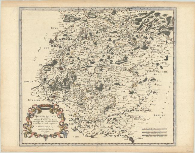
Subject: Northern France
Period: 1656 (dated)
Publication: Cartes Particulieres de la France....
Color: Hand Color
Size:
18.5 x 16.5 inches
47 x 41.9 cm
Download High Resolution Image
(or just click on image to launch the Zoom viewer)
(or just click on image to launch the Zoom viewer)