Subject: France
Period: 1810 (circa)
Publication:
Color: Hand Color
Size:
30.2 x 20.3 inches
76.7 x 51.6 cm
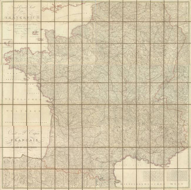
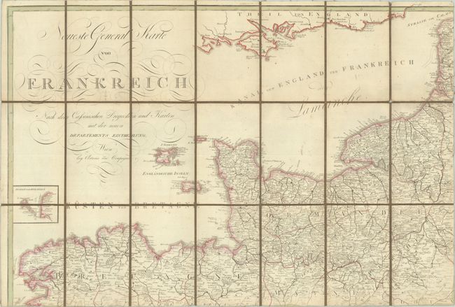
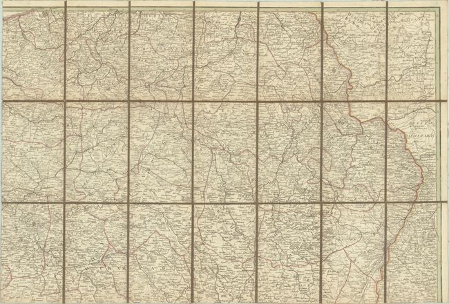
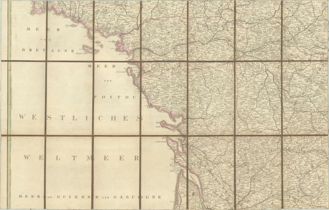
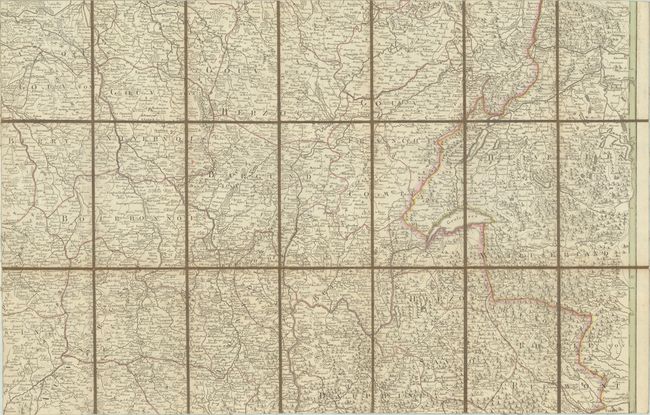
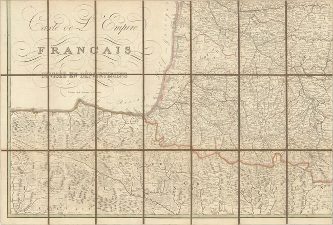
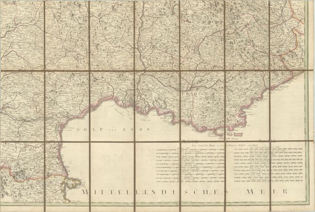
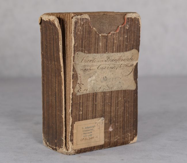
This mammoth German map of France would measure approximately 60 x 60" (5 feet square) if joined together. It is densely filled with detail including cities, scores of towns and villages, roads, pictorial forests and mountains, rivers, lakes, and much more. The map is divided into departments and extends to include parts of Switzerland and northern Spain. Features a remarkable 20 distance scales at bottom right. Includes a small inset of Ushant, off the coast of Brittany, at upper left. Dissected and backed with linen. Housed in a stiff paperboard slipcase with paper title label and seller's stamp on the front cover.
References:
Condition: B+
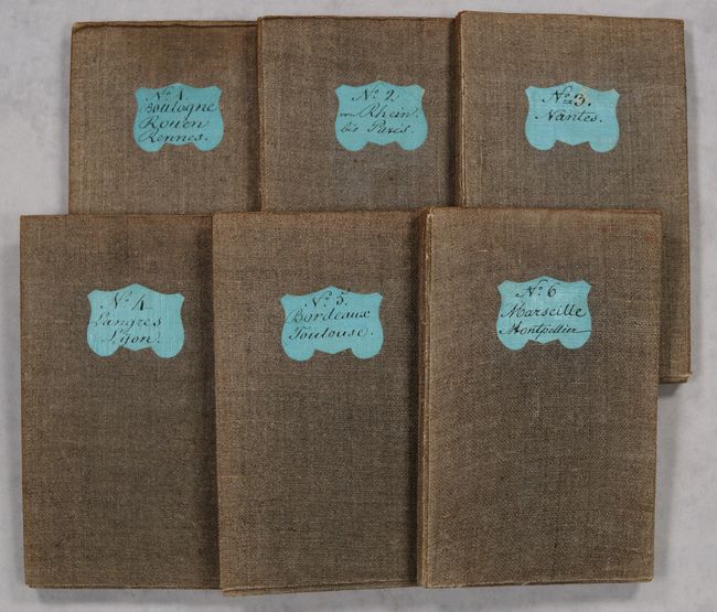
Condition code is for the map, which has contemporary outline color with some faint toning and occasional small spots. The map is dissected and backed with contemporary linen. Slipcase is heavily worn, chipped along the edges, and fully split along one edge. The first image is a composite image - the map is in six separate sheets.