Catalog Archive
Auction 208, Lot 378
"Norvegia Regnum Divisum in suos Dioeceses Nidrosiensem, Bergensem, Opsloensem, et Stavangriensem et Praefecturam Bahusiae...", Wit, Frederick de
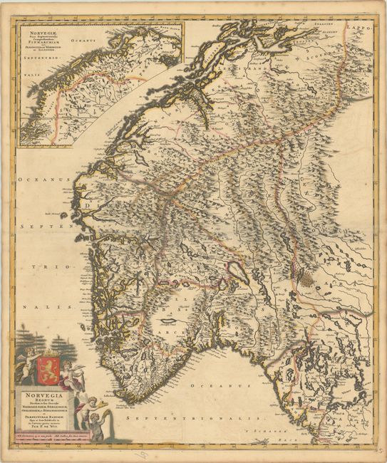
Subject: Norway
Period: 1688 (circa)
Publication:
Color: Hand Color
Size:
19.9 x 23.5 inches
50.5 x 59.7 cm
Download High Resolution Image
(or just click on image to launch the Zoom viewer)
(or just click on image to launch the Zoom viewer)