Subject: Wales
Period: 1720-42 (circa)
Publication:
Color: Hand Color
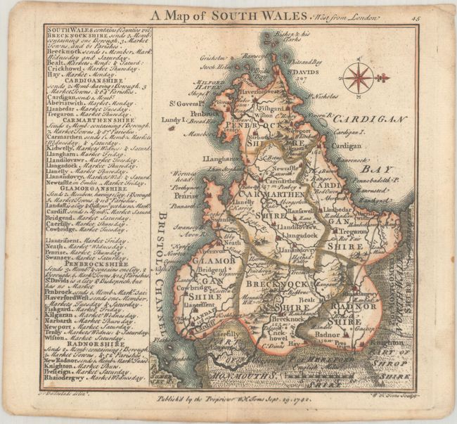
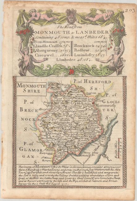
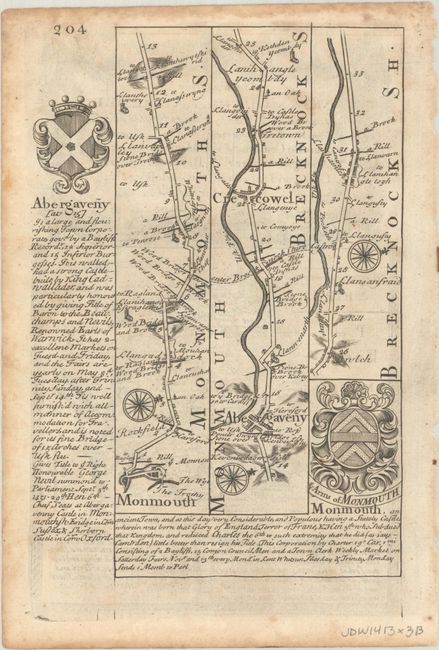
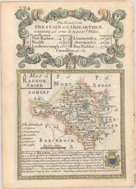
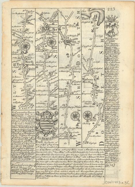
This lot features a small map of southern Wales drawn by Badeslade, engraved by Toms, and published in Chorographia Britanniae, Or a Set of Maps of All the Counties in England and Wales. Accompanying this map are two maps published in Owen & Bowen's Britannia Depicta. These handsome sheets contain county maps of Radnorshire and Monmouthshire on the rectos along with Ogilby-style strip road maps on the versos. They are well-illustrated with decorative title cartouches and accompanied by descriptive text by John Owen.
A. A Map of South Wales dated 1742 (5.8 x 5.7"). Condition: A slightly uneven impression at bottom with minor dampstaining along the top of the centerfold. (B+)
B. The Road from Monmouth to Lanbeder... (4.6 x 7.3"), circa 1720. Reference: Shirley (BL Atlases) T.BOW-1a. Condition: There is minor foxing and some dampstaining along the top sheet edge. (B+)
C. The Road from Prestain to Carmarthen... (4.8 x 7.1"), circa 1720. Reference: Shirley (BL Atlases) T.BOW-1a. Condition: Clean and bright. (A)
References:
Condition:
See description above.