Subject: London, England
Period: 1844 (published)
Publication:
Color: Hand Color
Size:
8.7 x 13.5 inches
22.1 x 34.3 cm
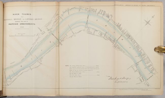
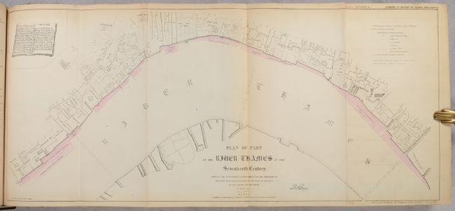
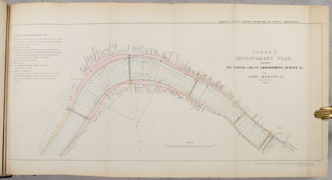
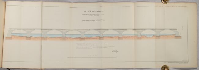
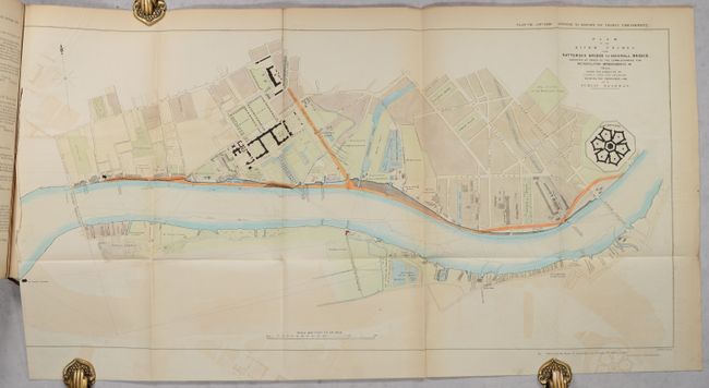
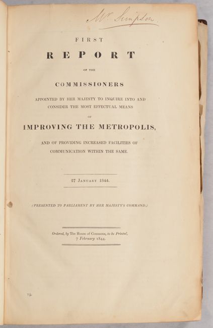
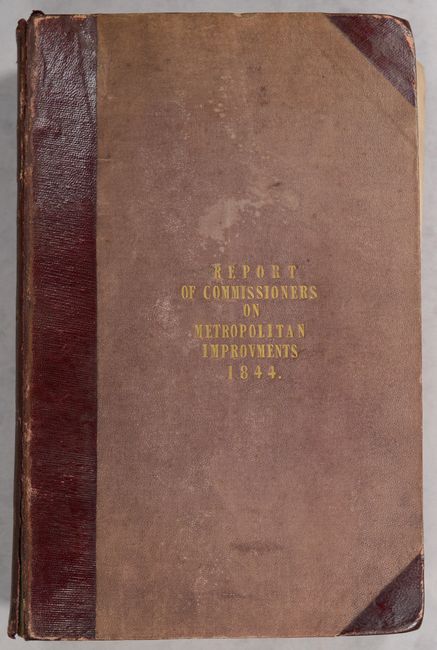
This comprehensive report with extensive illustrations describes alternate approaches for improving the Thames waterfront with an embankment for transportation between Westminster Bridge and London Bridge. Included with the 261 pages of text are 22 maps/plans of various sections of the river along with 40 plates of various diagrams featuring bridges and water depths. Many of the plans locate businesses and some indicate ownership, making it an interesting contemporary record of the city's economy and inhabitants. The first plate captures an early view of the Thames River in the 17th century. The Embankment project was eventually undertaken in the 1860s with multifaceted benefits for modernizing sanitation, transportation and flood control along the Thames. Printed by order of the British House of Commons. Hardbound in quarter leather with tips over cloth boards with gilt title on the front cover. OCLC shows a single holding (University of London).
References:
Condition:
The folding maps/plates are good to very good with light toning along the edges, minor offsetting, and some creasing around the vertical folds. There is occasional roughness along the edges of the plates and the last map has a long tear along the left border. Text is lightly toned. Covers are detached and boards are stained and worn. Contents (B)/ Binding (C)