Subject: England
Period: 1730 (published)
Publication: Britannia Depicta...
Color: Black & White
Size:
4.8 x 7.4 inches
12.2 x 18.8 cm
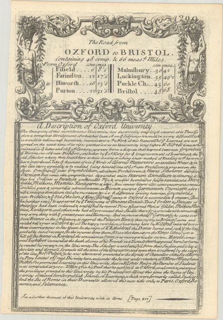
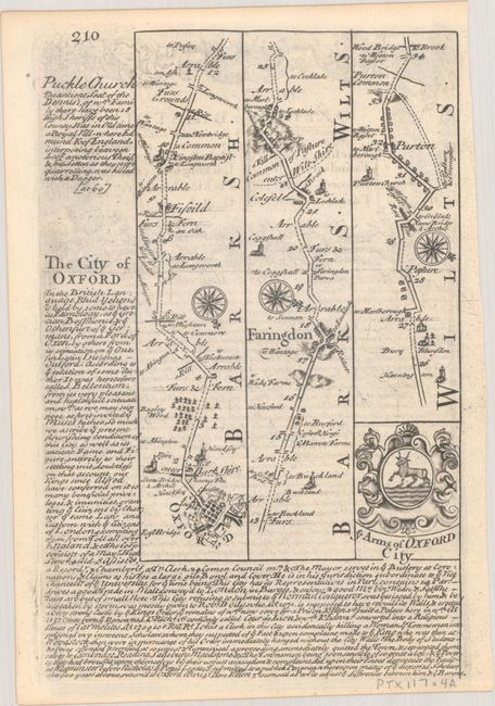
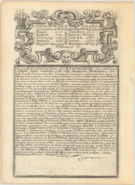
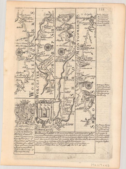
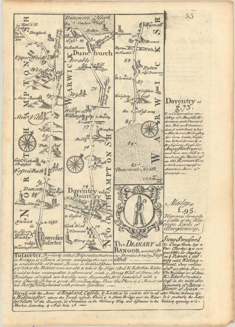
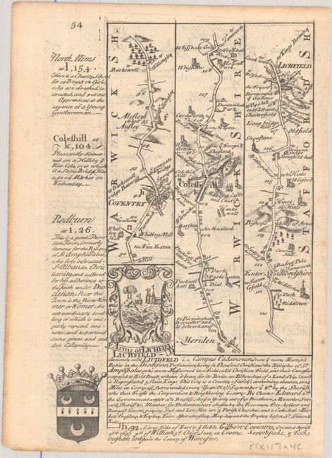
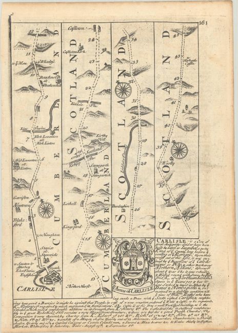
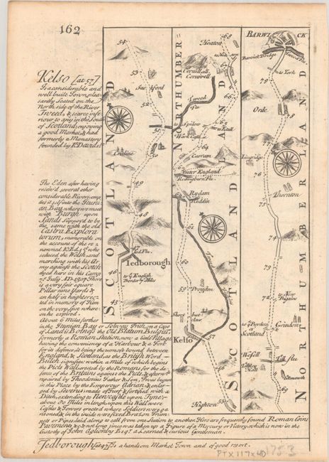
Britannia Depicta Or Ogilby Improv'd was the most popular and successful Ogilby derivative atlas, published in response to public demand for a small road atlas that could be easily carried by travelers. The atlas reproduced Ogilby's strip-style road maps and added individual county maps. It was published by Thomas Bowles in a series of editions between 1720 and 1764. The historical notes that accompany each map were compiled by John Owen, a respected lawyer and antiquarian. The maps were engraved by Emanuel Bowen who went on to become one of London's leading engravers and print sellers in the 18th century. The maps are embellished with coats of arms and contain immense detail and topographical information. A compass rose orients each map and useful landmarks include hills, bridges, rivers and streams, windmills, churches, markets, parks and forests, water wells and even gallows.
This lot includes four copper-engraved, Ogilby-style strip road maps, each with coats-of-arms and descriptive text by John Owen. The first two maps include elaborate title cartouches and text by Owen about Oxford University (first map) and the Bedford Level (or Great Level of the Fens). The list of maps includes:
A. [The Road from Oxford to Bristol...]. Shows the route from Oxford to Swindon.
B. [The Road from London to Montgomery...] [on verso] [The Road from London to St. Neots &c...]. This map spans from Worcestershire to Montgomery.
C. [The Road from London to Holy-Head...]. Stretches from Towcester to Lichfield.
D. [The Road from Carlisle to Barwick...] Extends from Carlisle to Barwick.
References: Shirley (BL Atlases) T.BOW-1a.
Condition: A
Three of the maps are on watermarked paper. The maps are nice impressions with minor soiling and marginal toning.