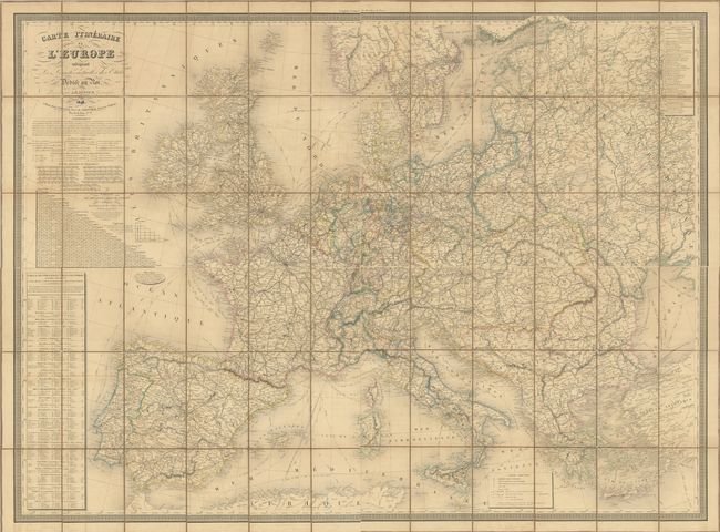
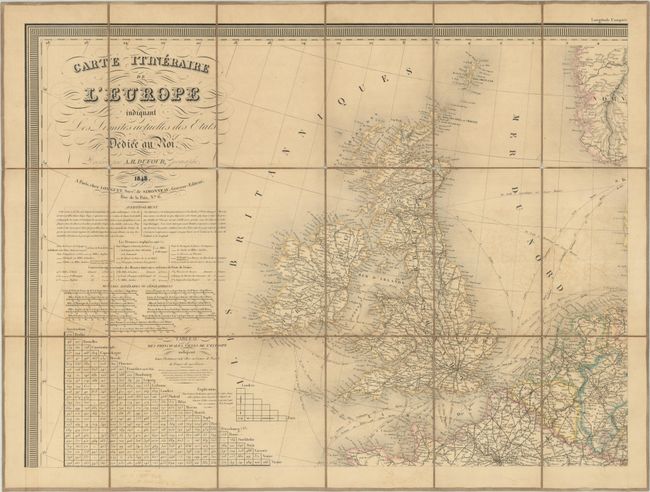
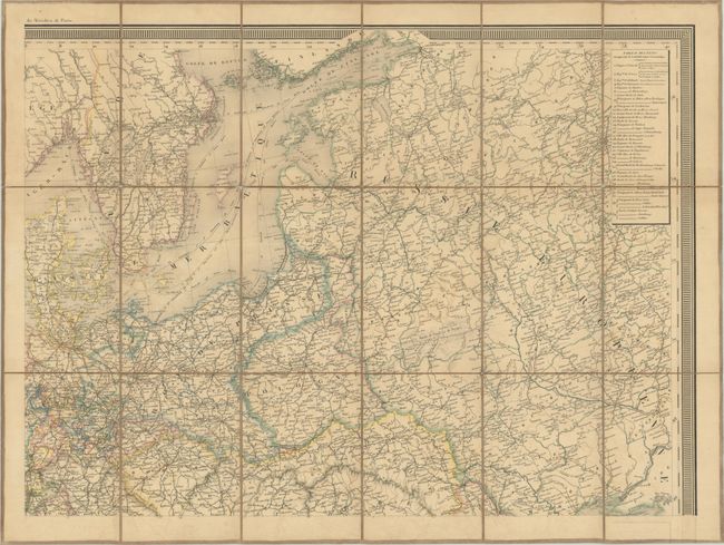
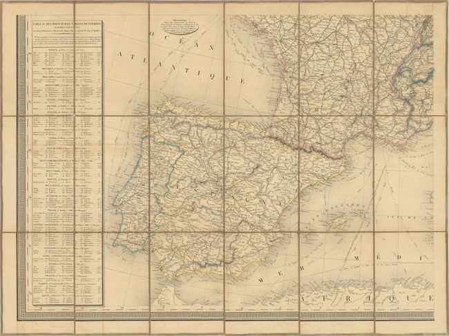
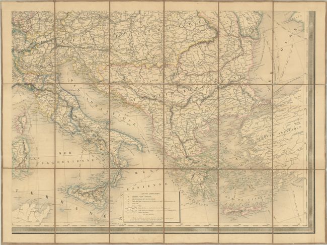
Subject: Europe
Period: 1848 (dated)
Publication:
Color: Hand Color
Size:
24.3 x 17.8 inches
61.7 x 45.2 cm
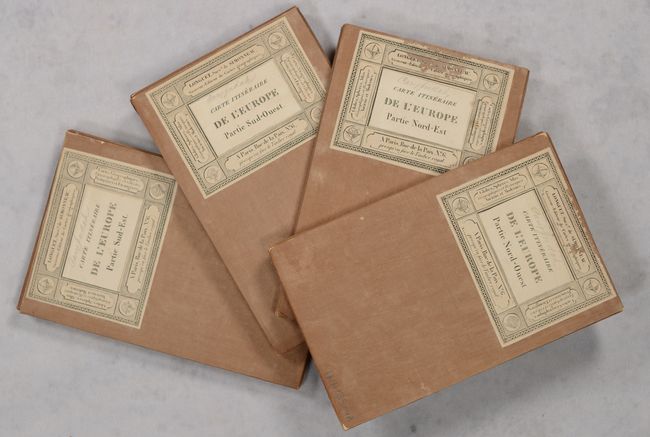
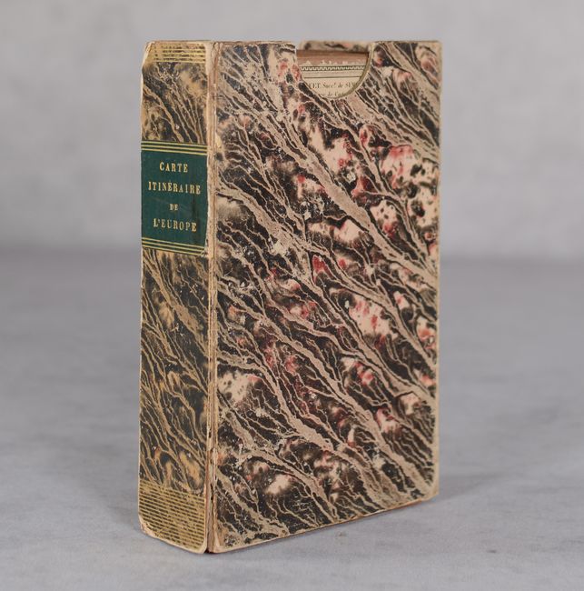
This large map was issued on 4 separate sheets which have been dissected and backed with linen. If assembled, the full map would measure approximately 49 x 36". This "itinerary map" presents the political boundaries of the continent following the Napoleonic Wars and is characterized by large Russian, Austrian, and Ottoman empires, as well as the 34-member German Confederation that replaced the old Holy Roman Empire (see table at top right of northeastern sheet). A legend at the bottom of the southeastern sheet further identifies capital cities, chief towns, villages, post roads and small roads. Along the left borders are a table including principal cities by country, a table of distances, and various distance scales. Self-folding with paper title labels on the verso of each sheet. Housed in a stiff paper board slipcase.
References:
Condition: B
Contemporary outline color with light toning and offsetting. The linen backing has splits along the folds in several places, but overall still very much intact. Slipcase is worn with the bottom panel missing. The first image is a composite image - the map is in four separate sheets.