Subject: Europe & Mediterranean
Period: 1718 (published)
Publication:
Color: Hand Color
Size:
20.3 x 14.4 inches
51.6 x 36.6 cm
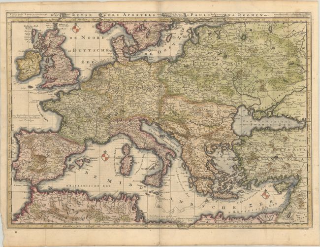
This fine map of Europe (except Scandinavia) and the Mediterranean illustrates the travels of St. Paul from Jerusalem to Rome. The title is in a panel across the top. Crisply engraved with good detail throughout and simply decorated with three compass roses. The map was engraved by Albert Schut and published in a Dutch Bible, first by Danckerts, second by R & J Wetstein and William Smith in Amsterdam and Samuel Luchtmans in Leiden, and last by I.B. Elwe. This is the first state, published by Cornelis Danckerts. Dutch text on verso.
References: Poortman & Augusteijn #164.
Condition: B+
A sharp impression, issued folding on a sturdy sheet with light soiling and a bit of toning along the edges.