Catalog Archive
Auction 208, Lot 341
"Islands in the Atlantic", Philip, George
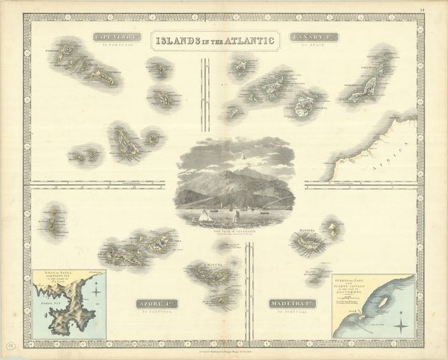
Subject: Atlantic Islands
Period: 1852 (dated)
Publication:
Color: Hand Color
Size:
23.6 x 19.8 inches
59.9 x 50.3 cm
Download High Resolution Image
(or just click on image to launch the Zoom viewer)
(or just click on image to launch the Zoom viewer)