Subject: Dallas, Texas
Period: 1957 (circa)
Publication:
Color: Printed Color
Size:
41 x 30 inches
104.1 x 76.2 cm
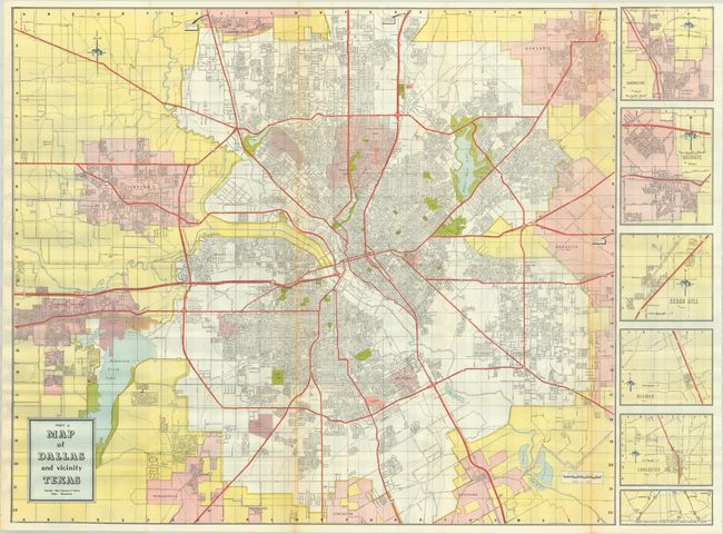
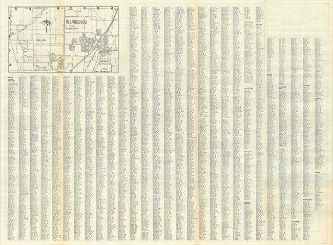
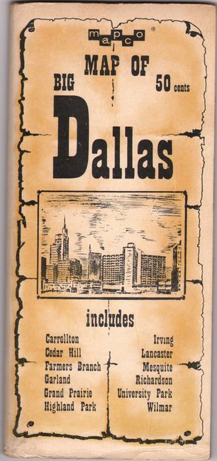
This large brightly-colored map of the Dallas area extends from Grand Prairie east to Mesquite and from Farmer's Branch south to Duncanville. It illustrates the street grid pattern, parks, cemeteries, roads, airports, and more with detailed inset maps at right. The verso features an extensive street index and a black & white map of Richardson. Circa date is based upon text on the inside front cover. Published by the Map Corporation of America in Boston and distributed locally by the Martin News Agency. Laid into pictorial wrappers.
References:
Condition: A
A clean and colorful example with a couple short splits at the fold junctions. Covers have minor wear along the edges.