Subject: Nashville, Tennessee
Period: 1947 (dated)
Publication:
Color: Printed Color
Size:
27 x 33 inches
68.6 x 83.8 cm
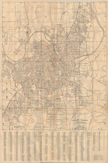
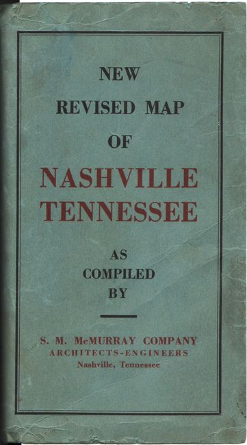
This large and detailed city plan of Nashville, Tennessee was compiled by S.M. McMurray and presents a comprehensive view of the city following the conclusion of World War II. Streets, railroads, bus lines, and major infrastructure are clearly delineated, with the urban core radiating outward into developing residential districts. The Cumberland River winds prominently through the composition, anchoring the city’s geography. Below the map is a detailed street index. Blank verso. Folds into paper covers. The map captures Nashville at the outset of its modern expansion, when the city’s population hovered around 170,000—just a fraction of its more than 700,000 residents today.
We found no past sales records for this map and no examples on OCLC for this edition (there are 7 examples from other years).
References:
Condition: B
Issued folding on a lightly toned sheet with some minor staining where the map is glued to the covers at bottom. There are numerous splits at the fold junctions, an archivally repaired 2" fold separation at top left, and some small holes along the fold lines in the street index below the map. Paper covers are soiled and worn.