Catalog Archive
Auction 208, Lot 291
"Geographical, Statistical, and Historical Map of South Carolina", Carey & Lea
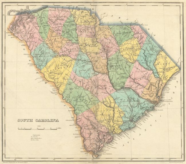
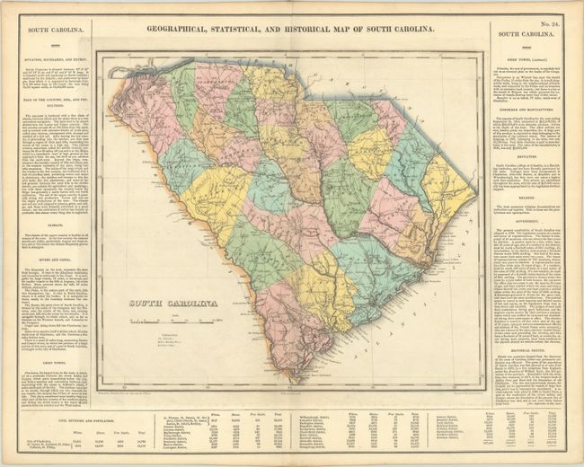
Subject: South Carolina
Period: 1827 (published)
Publication: A Complete Historical, Chronological, and Geographical American Atlas
Color: Hand Color
Size:
14.8 x 12.9 inches
37.6 x 32.8 cm
Download High Resolution Image
(or just click on image to launch the Zoom viewer)
(or just click on image to launch the Zoom viewer)