Subject: Oregon
Period: 1909-25 (circa)
Publication:
Color: Printed Color
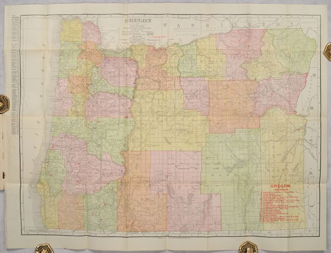
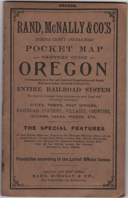
A. Oregon, by Rand McNally & Co., dated 1909 (26.2 x 19.1"). This map of the state is attached to the back cover of Rand, McNally & Co.'s Indexed County and Railroad Pocket Map and Shippers' Guide of Oregon. It delineates counties and identifies several towns and cities, especially highlighting those with populations between 5,000 and 10,000. Other notable locations include Cascade Range Forest Reserve, Indian reservations, and the Great Sandy Desert. A numbered key in red overprinting identifies various railroads; electric lines are also indicated in red. The 30-page booklet is full of useful reference information and advertisements. Stiff paper covers (4.2 x 6.6"). Reference: Rumsey #3184. Condition: Issued folding with tiny separations at fold intersections and a hint of soiling at left. Corners of booklet are slightly creased, with a hint of toning in text. Covers are lightly soiled.
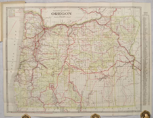
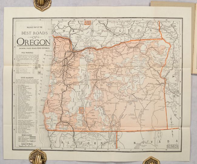
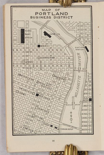
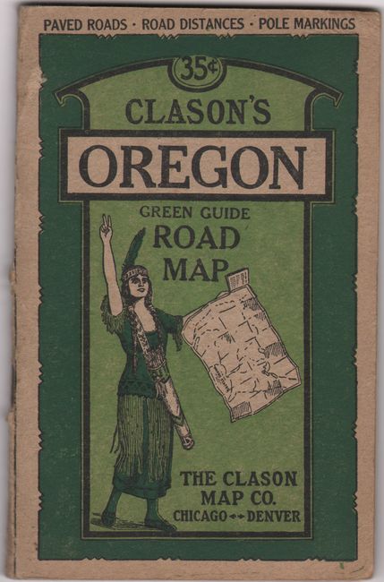
B. Clason's Guide Map of Oregon [and] Mileage Map of the Best Roads of Oregon, by Clason Map Company, circa 1925 (21.9 x 17.0"). Clason's Oregon Green Guide includes two great maps of the state. Attached to the back cover is the general guide map, with county lines, reservation boundaries, and national forests in green and roads, electric lines, and steamship routes in red. The detailed road map (15.5 x 12.2") is attached to the front cover and notes pole markings, state highways, and various road types. On verso is Mileage Map of the Transcontinental Trails of the United States (11.9 x 9.3"). In the 40-page booklet, among the indices and information for the traveler, are a couple of small maps of Portland. The map folds into pictorial paper wrappers (4.1 x 6.4") featuring an Indigneous woman. Condition: The guide map is issued folding with a 2" fold separation at bottom right that has been closed on verso with archival tape. The road map, also issued folding, is near fine. Text is very good with faint toning and slightly creased corners, with a chipped corner and missing text on the last page. The covers are lightly toned and worn.
References:
Condition: A
See description above.