Subject: New Jersey
Period: 1827 (published)
Publication: A Complete Historical, Chronological, and Geographical American Atlas
Color: Hand Color
Size:
9.2 x 11.6 inches
23.4 x 29.5 cm
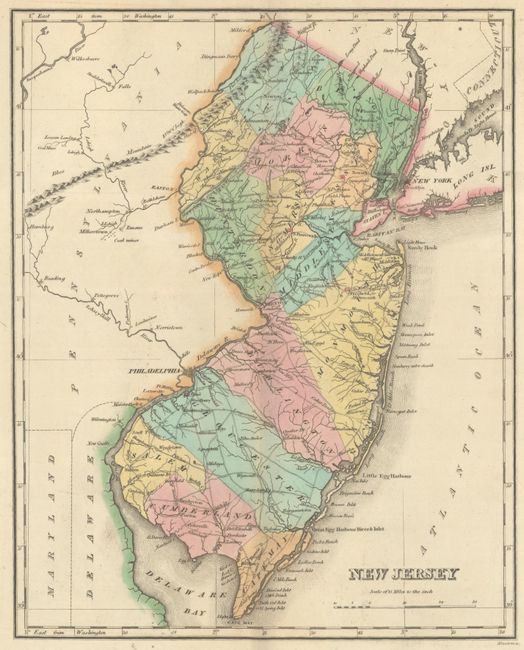
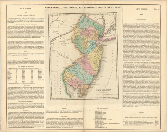
This map is on a full folio sheet (21.9 x 17.5") with surrounding text describing boundaries, climate, chief towns, religion, commerce, government, and history. The finely engraved map delineates rivers, roads, towns and counties. Fourteen counties are named with Warren County created from Sussex County in the northwestern portion of the state. The principle battle sites in the state from the War of 1812 are identified by small red flags including Trenton, Princeton, Monmouth and Springfield. A list of governors beneath the map spans from Lewis Morris in 1738 to Isaac H. Williamson in 1826. Engraved by Kneass.
References: Phillips (Atlases) #1177-17.
Condition: B+
Contemporary color on a clean sheet with a few tiny binding holes along the centerfold only visible when held to light. There is a printer's crease in the top right corner of the sheet.