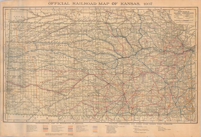
Subject: Kansas
Period: 1907 (dated)
Publication:
Color: Printed Color
Size:
29.8 x 17.9 inches
75.7 x 45.5 cm
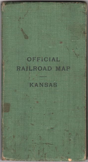
This pocket map of the state was issued by the State Board of Railroad Commissioners. It presents the extensive railroad network in the state through a variety of colors/patten with a key at bottom listing the various railroad companies, including the Atchison, Topeka & Santa Fe, Kansas & Southern, and the Leavenworth & Topeka to name a few. The map is delineated by county and locates county seats, other towns and settlements, rivers, and more. Folds into green cloth covers.
References:
Condition: B+
Issued folding and backed with linen. There are a few minor stains and a couple of tiny splits at the fold junctions. Covers are lightly soiled.