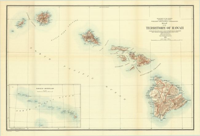
Subject: Hawaii
Period: 1905 (published)
Publication:
Color: Printed Color
Size:
33 x 22 inches
83.8 x 55.9 cm
This large and colorful map of the Hawaiian Islands was made shortly after annexation. At this early stage of development there is little settlement shown outside of Oahu. The Mauna Loa volcano is shown with its lava flows. A large inset at lower left provides a wider view of the entire archipelago, extending beyond Midway Island. The map was produced under the direction of Frank Bond and published under the direction of GLO Commissioner William A. Richards.
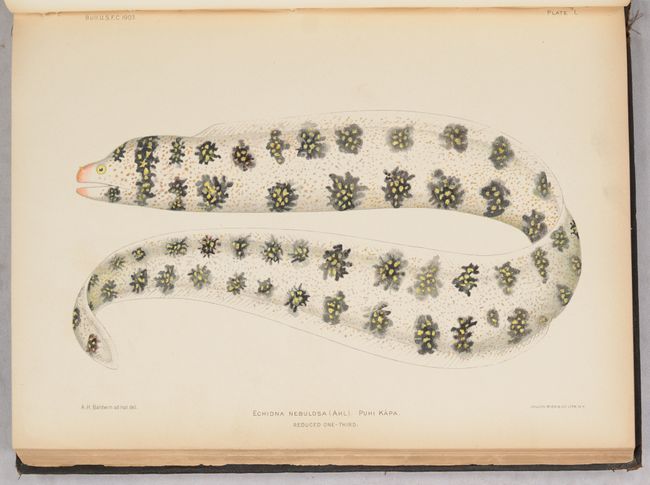
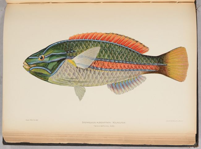
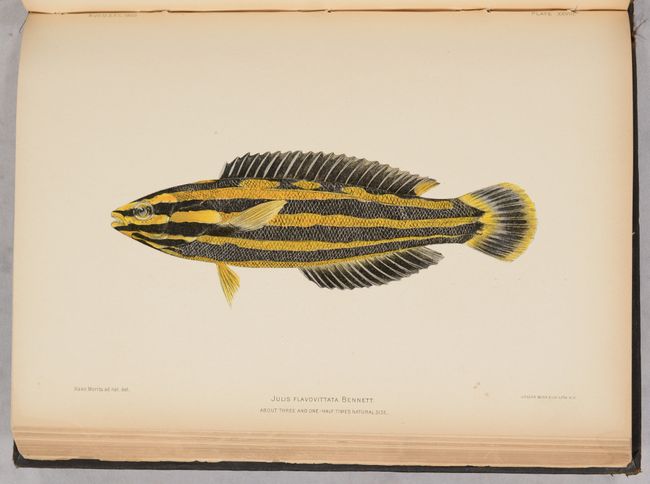
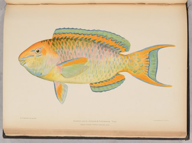
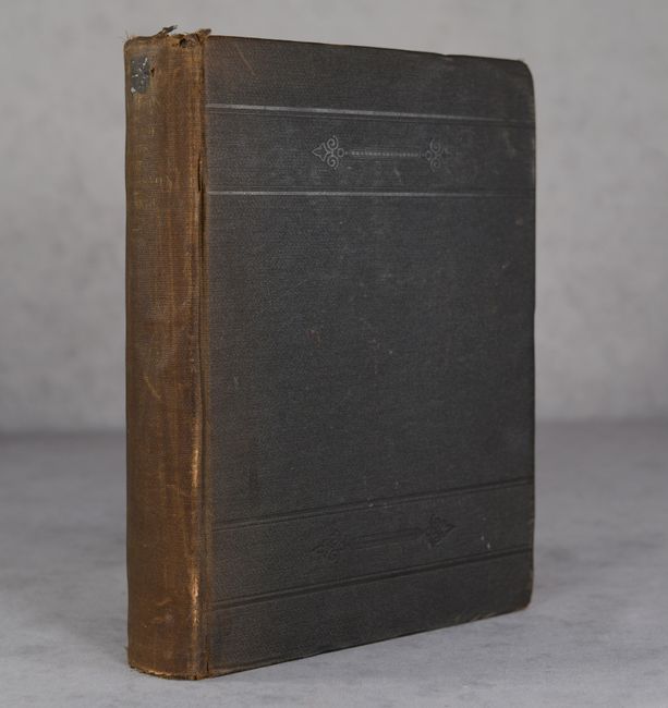
The map is housed in a rear pocket of the Bulletin of the United States Fish Commission. Vol. XXIII which features "The Aquatic Resources of the Hawaiian Islands" by David Starr Jordan and Barton Warren Evermann. The 574 pages of text are accompanied by copious illustrations including 65 monochrome plates (some numbers out of sequence) and 73 chromolithographed plates of various fish species found in Hawaii. Complete. Quarto, hardbound in brown cloth with gilt title on the spine.
References:
Condition:
The folding map is near fine with a hint of toning along the folds. Contents, including the plates, are very good with light toning mostly along the sheet edges. The text block is broken with the last 30 pages of text and the color plates detached from the block but still attached to the rear cover. A few other pages are detached and other sections are very loose. Ex-library with cancelled Field Museum Library (Chicago) stamps on title page. Map (A)/ Plates (B+)/ Binding (C)