Subject: Palm Beach, Florida
Period: 1949 (circa)
Publication:
Color: Printed Color
Size:
16 x 30.6 inches
40.6 x 77.7 cm
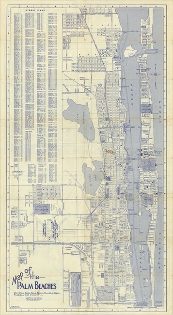
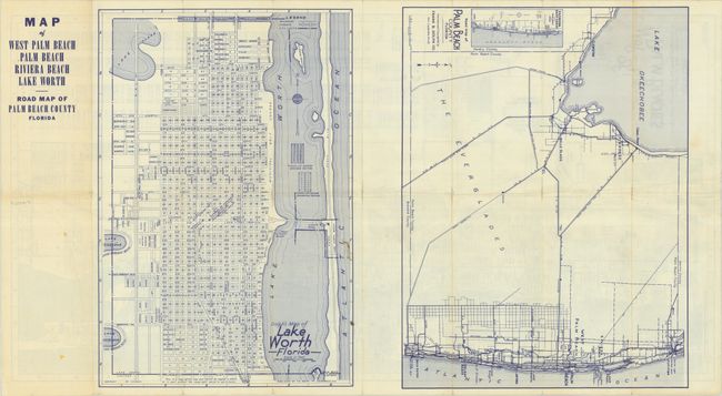
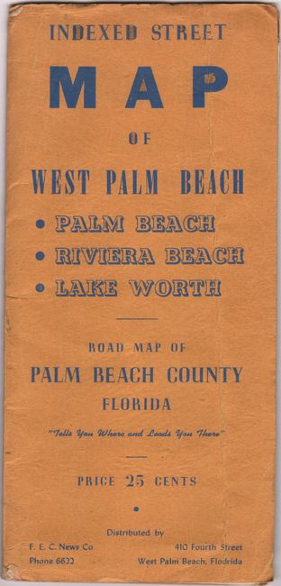
This detailed street map printed in blue ink was published by Frank B. Dolph in Fort Lauderdale. It extends from Riviera Beach and Peanut Island south to the airport and municipal golf course. The map locates The Breakers, the Palm Beach Biltmore, and a number of golf clubs. West of the Seaboard Railroad and "Proposed Location of Super Highway" (I-95) is virtually undeveloped outside of the airport and Belvedere Country Club. At the time of publication, the population of Palm Beach County was only 115,000 versus today’s 1,500,000. The verso features additional maps of Lake Worth and Palm Beach County. Laid into printed wrappers (4 x 9") with 25 cent price at bottom. Circa date is based on the renaming of the airport to Palm Beach International Airport in 1948. It kept that name only until 1951 when it was renamed again.
References:
Condition: B
Issued folding with short splits at the fold junctions and a few minor stains.