Subject: Colorado
Period: 1931 (circa)
Publication:
Color: Printed Color
Size:
22.2 x 17.2 inches
56.4 x 43.7 cm
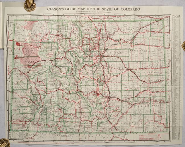
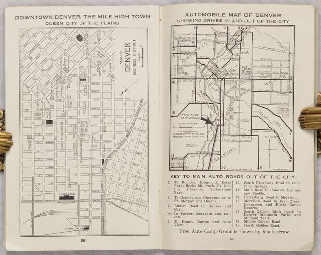
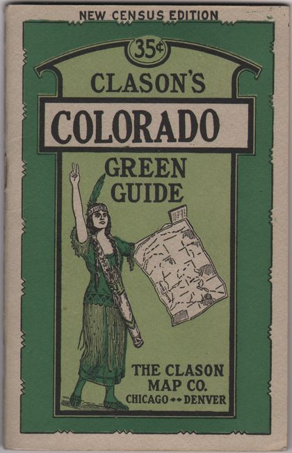
This terrific map of Colorado shows fine detail of counties, towns and villages, and railroads. But the map has two standout features. First, the map is filled with a large network of red overprinted automobile roads including the "Main Auto Roads." Many roads are named, but the map predates the numbering system. Second, this issue focuses on "Oil Resources" by R.D. George, State Geologist, Boulder. The legend uses red overprinted icons to locate Oil Fields; Oil Shale; Anticlinal Areas; Anticlines; Oil & Gas in Water Wells, Seeps, etc; Oil & Gas Indicated by Drilling; and Bitumen & Oil Sands. On the map the huge oil shale deposits in the northwest are clearly shown as is an early depiction of the Rangley Oil Field. The field was expanded in 1931 by Chevron Oil, thus assisting in dating the map. The map folds into pictorial paper wrappers (4.0 x 6.4") featuring an Indigneous woman. The 40-page Green Guide booklet contains plans of Denver, Pueblo, and Colorado Springs, and another map of Denver "Showing Drives In and Out of the City."
References:
Condition: A
The map is issued folding, near fine. The booklet is slightly creased in the bottom corner and the covers show very minor wear.