Subject: Western United States
Period: 1900 (published)
Publication:
Color: Printed Color
Size:
8 x 11.6 inches
20.3 x 29.5 cm
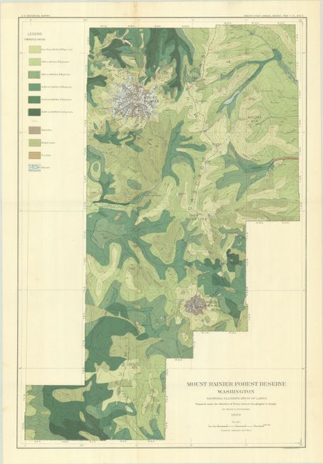
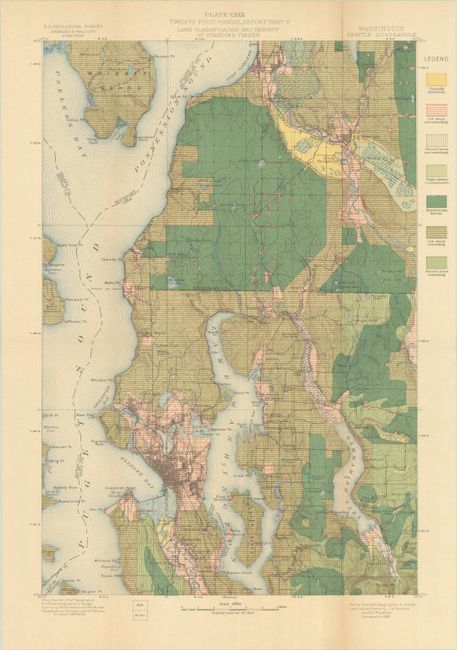
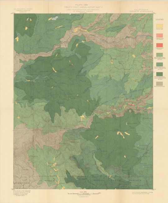
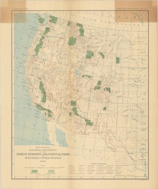
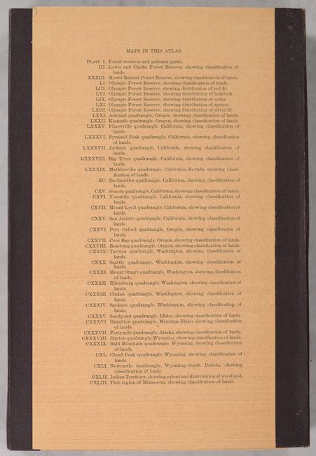
This attractive portfolio atlas was issued as a companion volume housing 39 folding maps related to the 21st Annual Report Forest Reserves text volume (not present). The maps detail forested areas in Washington, Oregon, California, Idaho, Wyoming and Indian Territory, including Mt. Rainier, Yosemite and the Seattle region. Each map uses bright coloring to indicate forest density as well as non-forested areas. The maps incorporate other USGS data as well including towns, villages, roads, railroads, rivers, and elevation. See image for the complete list of maps. Housed in a brown cloth portfolio with gilt title on the spine.
References:
Condition: B+
The colorful folding maps are almost entirely very good to near fine with even light toning on about three-quarters of the maps. The index map has moderate toning in the top corners (B). Slipcase has average shelf wear and the string ties are missing.