Subject: South Central United States, Texas
Period: 1909 (dated)
Publication:
Color: Printed Color
Size:
29.5 x 34.2 inches
74.9 x 86.9 cm
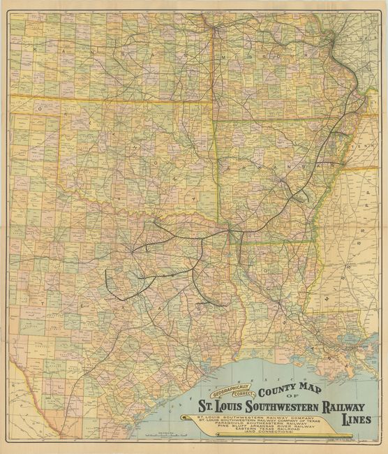
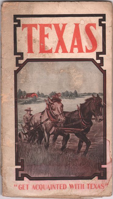
This large and colorful railroad map covers Texas, Oklahoma, Kansas, Missouri, Arkansas and Louisiana. It is delineated by county and shows the lines of the St. Louis Southwestern Railroad or "Cotton Belt Route" to various points in Texas including Sherman, Fort Worth, Stephenville, Hillsboro, White City and more. The map locates connecting railroads in the region along with cities, counties, rivers and more. Folds into a 38-page promotional pamphlet entitled Texas Farm Fruit and Garden Lands: Opportunities for Homebuilding in the Chosen Field of Diversified Agriculture along the Cotton Belt Route. The text describes opportunities for immigrants throughout the state, mostly related to farming but some also to oil. Pictorial paper covers (5 x 9") showing a farmer plowing a field with text "Get Acquainted with Texas."
References:
Condition: B+
Condition code is for the folding map, which has a few spots of foxing and a number of fold separations that have been closed on verso with archival tape. Text is clean but separated from covers. Covers are soiled and worn and the spine is reinforced with archival tape.