Catalog Archive
Auction 208, Lot 152
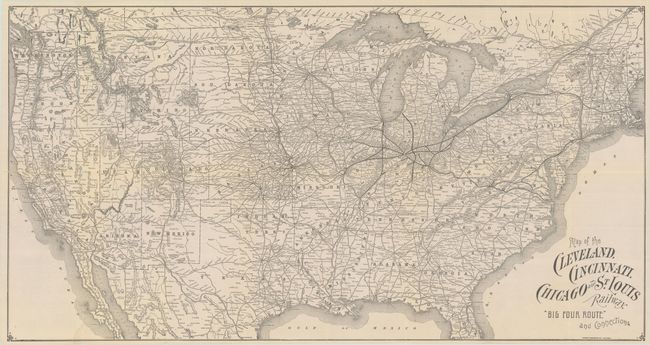
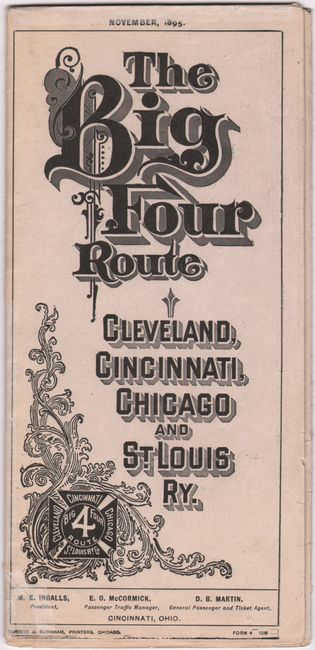
"Map of the Cleveland, Cincinnati, Chicago and St. Louis Railway. "Big Four Route" and Connections", Railroad Companies, (Various)
Subject: United States, Railroads
Period: 1895 (dated)
Publication:
Color: Black & White
Size:
31 x 16.3 inches
78.7 x 41.4 cm
Download High Resolution Image
(or just click on image to launch the Zoom viewer)
(or just click on image to launch the Zoom viewer)