Subject: Northern Canada
Period: 1880 (published)
Publication:
Color: Black & White
Size:
5.7 x 8.9 inches
14.5 x 22.6 cm
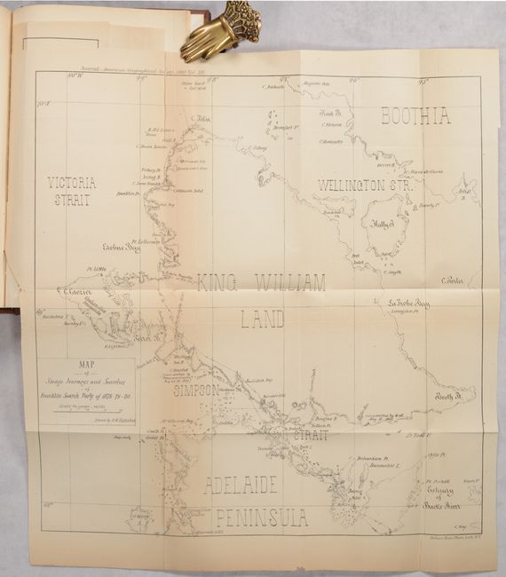
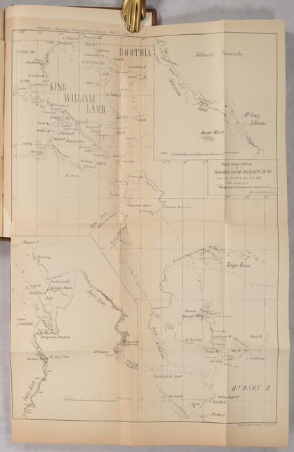
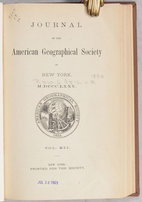
This 296-page volume is the twelfth report from the American Geographical Society. Contents include the list of officers, charter, by-laws, members, transactions of the society, and a number of academic papers including: "The Bad Lands of Wyoming" by Professor John McMaster; "A Journey Around the World" by Benjamin Curtis"; "Arctic Exploration" by Reverence B.F. De Costa; and "Arctic Meeting for the Reception of Lieut. Schwatka and his Associates of the Franklin Search Party." This last report (pp. 237-296) includes two maps showing the tracks of the party's snow sledges in search of evidence of Franklin's expedition and ships, the HMS Erebus and HMS Terror. The first map (12.7 x 13.2") delineates the party's route along the western coast of King William Island and surrounding islands. The second map (9.9 x 14.3") presents the team's tracks from northwestern Hudson Bay through portions of Nunavut to King William Island. The ships were finally discovered in 2014 and 2016, following a multi-year search combining modern sonar technology with traditional Inuit knowledge. Hardbound in brown buckram.
References:
Condition: B+
Contents are very good with uniform light toning. Folding maps have several short fold separations that have been closed on verso with archival tape. Ex-library with the usual markings. Modern library binding his minimal wear.