Catalog Archive
Auction 207, Lot 77
"Laurie & Whittle's New General Map of America Compiled from the Most Authentic Materials", Laurie & Whittle
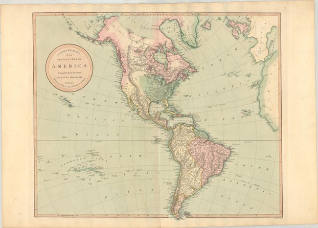
Subject: Western Hemisphere - America
Period: 1813 (dated)
Publication: A New and Elegant Imperial Sheet Atlas…
Color: Hand Color
Size:
23.1 x 19.3 inches
58.7 x 49 cm
Download High Resolution Image
(or just click on image to launch the Zoom viewer)
(or just click on image to launch the Zoom viewer)