Current Auction
Lot 742
Current Auction

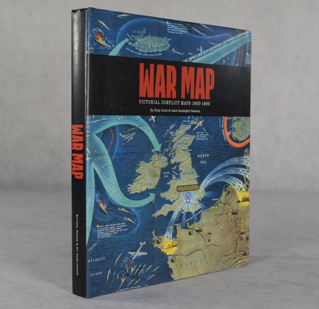
"War Map - Pictorial Conflict Maps 1900-1950"

Subject: References, War Propaganda Maps

Period: 2016 (published)

Publication:

Color: Printed Color

Size:
9.8 x 12.1 inches
24.9 x 30.7 cm
Download High Resolution Image
(or just click on image to launch the Zoom viewer)

This eye-catching reference by The Map House's Philip Curtis and Jakob Sondergard Pedersen covers pictorial war maps published during the heyday of printed propaganda. The map selection here spans from the Boer War to the Korean War, with brief, elucidating descriptions for each map. The book teems with splashy full color images. 232 pages. Hardbound in dark green cloth with crimson embossed titles on cover and spine, and an illustrated dust jacket.

References:

Condition: A

Near fine, with slightly bumped corners.

Estimate: $110 - $140

Current High Bid:
$0

Reserve: Reserve Not Met
Next Bid: $55

Bid Increments
$50 - $99$5
$100 - $249$10
$250 - $499$25
$500 - $999$50
Terms & Conditions