Subject: School Atlases, Republic of Texas
Period: 1843 (published)
Publication:
Color: Hand Color
Size:
9.4 x 11.6 inches
23.9 x 29.5 cm
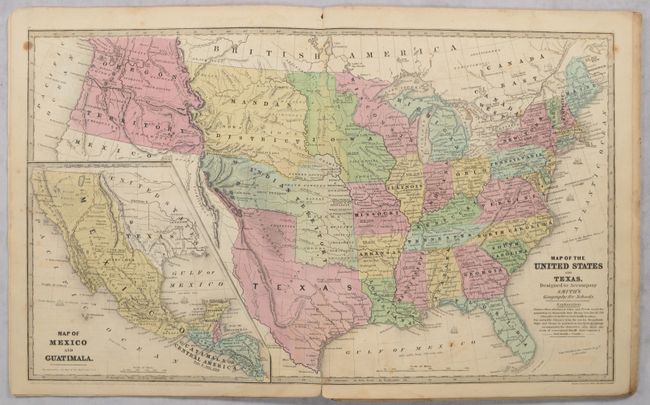
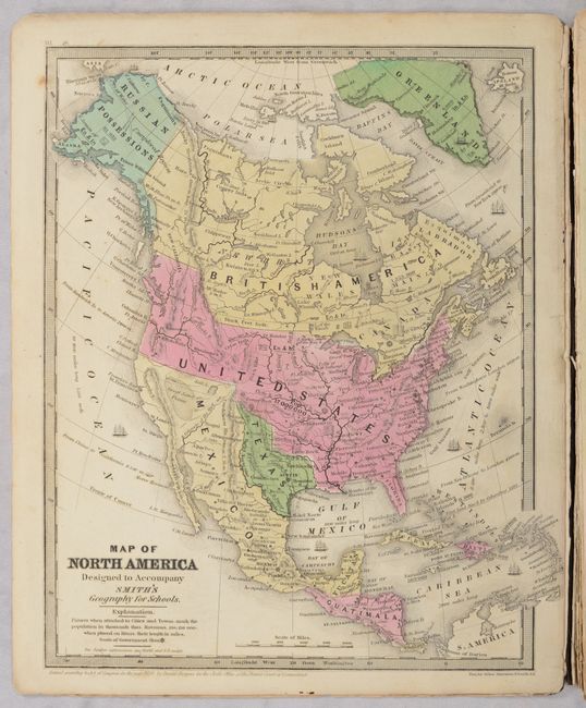
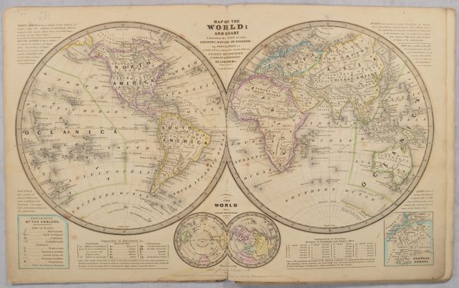
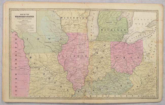
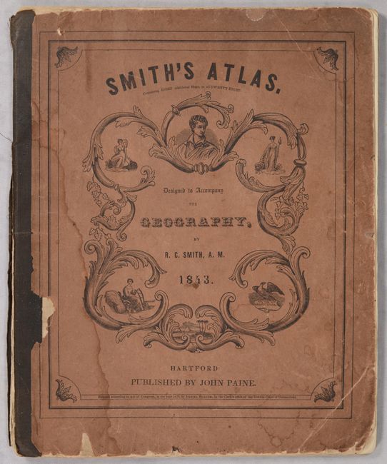
This school atlas contains 9 single-page and 5 double-page maps of the world, continents, regions in the United States, Britain, and Central Europe. Texas is shown as an independent republic on the world, North America, and U.S. map. This latter map, entitled Map of the United States and Texas, features some early territorial borders in the West in addition to the Republic of Texas. Oregon Territory covers the Northwest and extends well into Canada. The huge Indian Territory lies north of Texas and extends to the Mandan District, which in turn goes to the border with Canada. Iowa Territory is in a rare configuration, stretching from Missouri to the Canadian border and bounded east and west by the Mississippi and Missouri rivers. The large inset at lower left is a detailed "Map of Mexico and Guatimala" and also shows the Republic of Texas. All maps are copyrighted either 1839 or 1843 and the front cover is dated 1843. Bound in stiff illustrated paper covers.
References:
Condition: B+
Condition code is for the maps, which have dark impressions and bright contemporary color. There is scattered foxing, some dampstaining at bottom and along some gutters, and a few maps have light toning. About half of the maps are loose. Covers are nearly detached and have moderate wear and dampstaining. The back cover has a large chip at upper left.