Subject: Atlases
Period: 1891 (published)
Publication:
Color: Printed Color
Size:
11.8 x 14.8 inches
30 x 37.6 cm
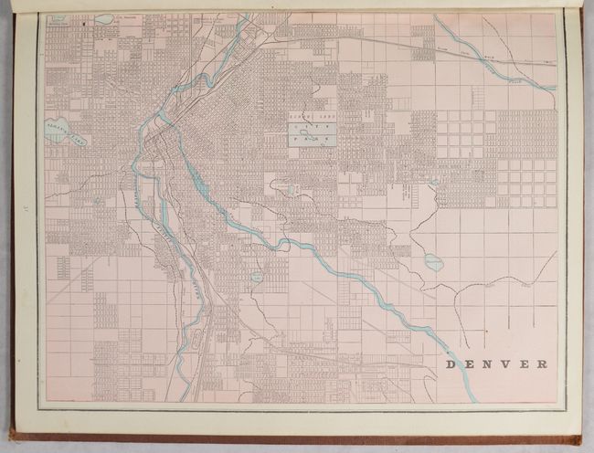
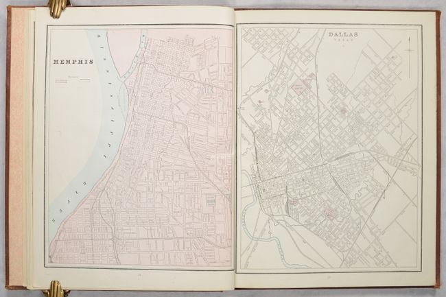
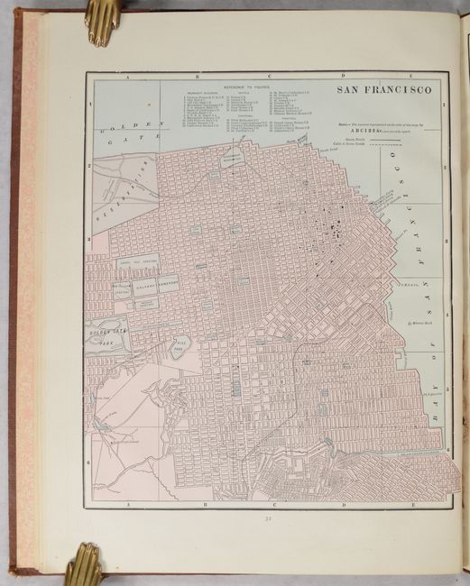
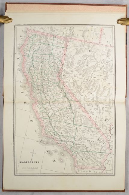
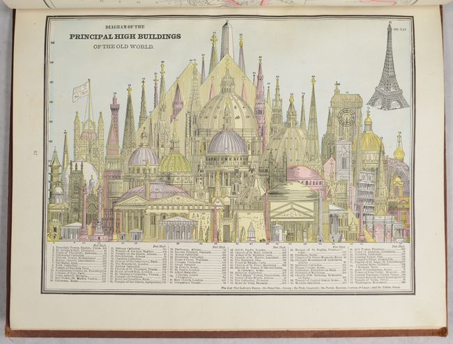
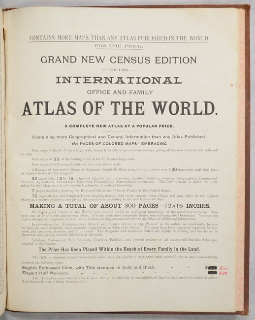
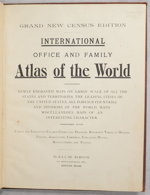
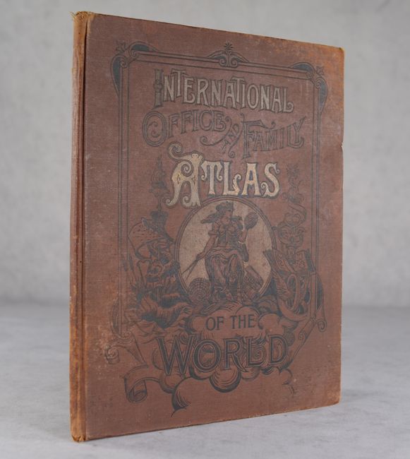
This is an unusual example of this late 19th-century atlas published by the Balch Bros. in Boston. It is a sales agent's demonstration copy of the "Grand New Census Edition," with an advertisement in the back noting the up-to-date prices in red manuscript ink ($5 for English embossed cloth, $6.50 for "elegant" half Morocco) and manuscript notations on a couple prospective buyers. Sample strips of the binding options are attached to the pastedown. As it is a demo copy, it is incomplete; whereas the advertisement promises approximately 300 total pages, with 164 pages of colored maps - "more maps than any atlas published in the world for the price" - this example only has 33 maps, plus 14 additional pages of color diagrams and charts. 11 of the maps cover states (including Maine, New York, New Jersey, Pennsylvania, Michigan and Wisconsin, and California); 14 cover cities (including Boston, Brooklyn and New York City, Richmond, Washington, Pittsburgh, Denver, San Francisco, Dallas, and Montreal); and the final 8 cover international areas (including Ireland, Germany, Sumatra, and the Turkish Empire). The maps appear to be copies of George F. Cram & Co. atlas maps. Following the maps are Diagram of the Principal High Buildings of the Old World and 13 graphs and charts showing the area of the world, statistics on education, economics, resources, and religions, population figures, and more. This is followed by a "Dictionary of Statistics" and lists of cities by state. 82 pages. Hardbound in sienna cloth with title and decoration on front cover.
References:
Condition: B+
Maps and text are very clean and bright with several pages with light offsetting from dried leaves previously left in volume. Hinges are starting. Covers are stained with bumped and frayed corners.