Subject: Atlases
Period: 1889 (published)
Publication:
Color: Hand Color
Size:
11.9 x 14.3 inches
30.2 x 36.3 cm
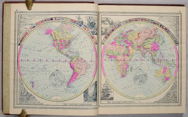
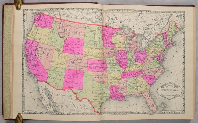
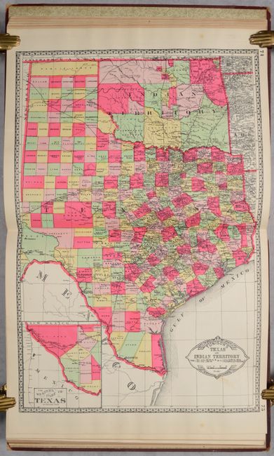
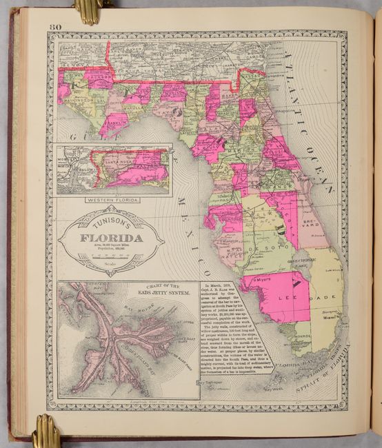
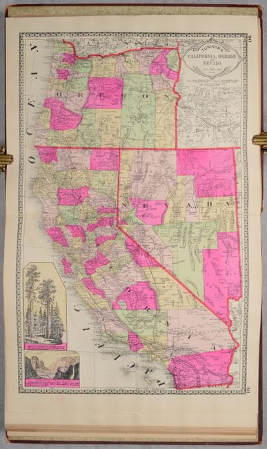
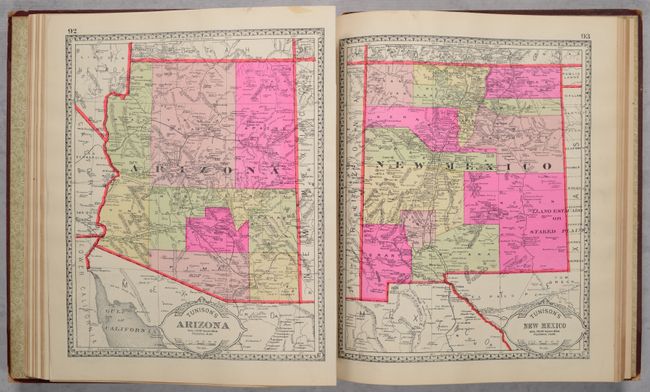
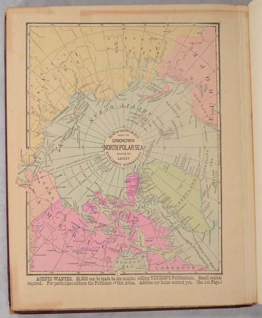
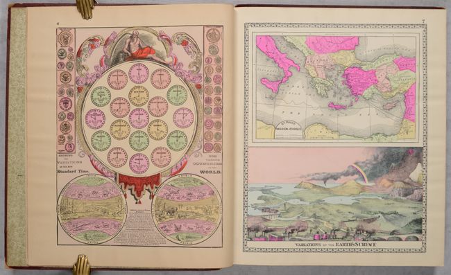
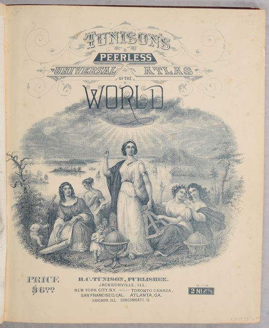
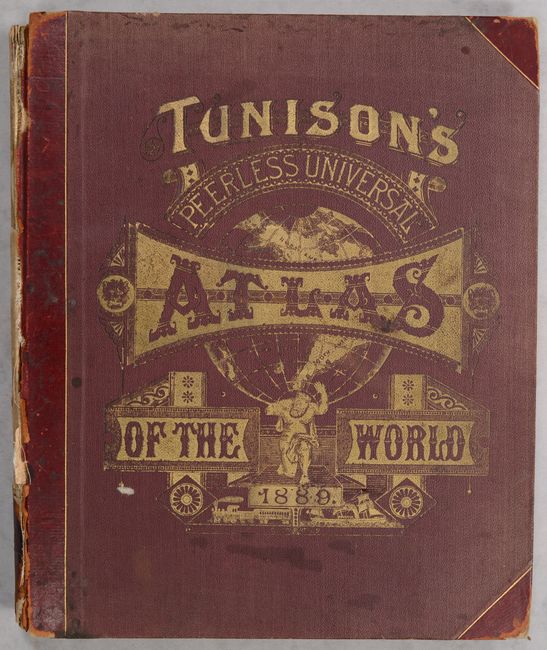
This attractive and unusual atlas is complete with over 80 wax engraved, hand colored maps and diagrams, most with decorative borders and some with vignettes. Nearly half of the maps relate to the United States. Most of the maps are printed on both sides. The map of California, Oregon, and Nevada is particularly nice with insets of Yosemite and the Redwoods. It also features two pages of presidential portraits and numerous engravings showing the diverse civilizations and cultures of the world. The last map is Map of the Regions about the Unknown North Polar Sea Showing the Latest Exploring Expeditions. These maps are uncommon for their late hand coloring, a laborious process that was largely abandoned two decades earlier. Small folio, 208 pages. Hardbound in original, embossed maroon cloth boards.
References:
Condition:
The maps are mostly clean with Tunison's distinctive bright coloring. The map of California is loose with archivally repaired centerfold separations at top (2.5") and bottom (1.5"). Text is lightly toned throughout. Front cover is detached and rear cover is nearly detached. Boards are moderately worn and the spine has perished. Maps (A) / Binding (C+)