Catalog Archive
Auction 207, Lot 679
"Jns Kleine Gebrachte Karte von dem Mittaeglighen Meere zur Allgemeinen Historie der Reisen", Bellin, Jacques Nicolas
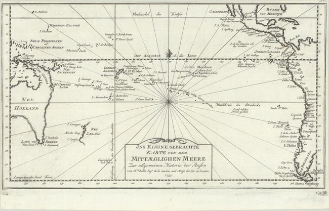
Subject: South Pacific Ocean
Period: 1753 (dated)
Publication:
Color: Black & White
Size:
13.9 x 8 inches
35.3 x 20.3 cm
Download High Resolution Image
(or just click on image to launch the Zoom viewer)
(or just click on image to launch the Zoom viewer)