Catalog Archive
Auction 207, Lot 678
"Carte Reduite de la Partie du Grand Ocean Comprise Entre le Japon et la Californie, Dressee d'Apres les Observations de Cook, La Perouse et Autres Navigateurs Modernes...", Beautemps-Beaupre, Charles Francois
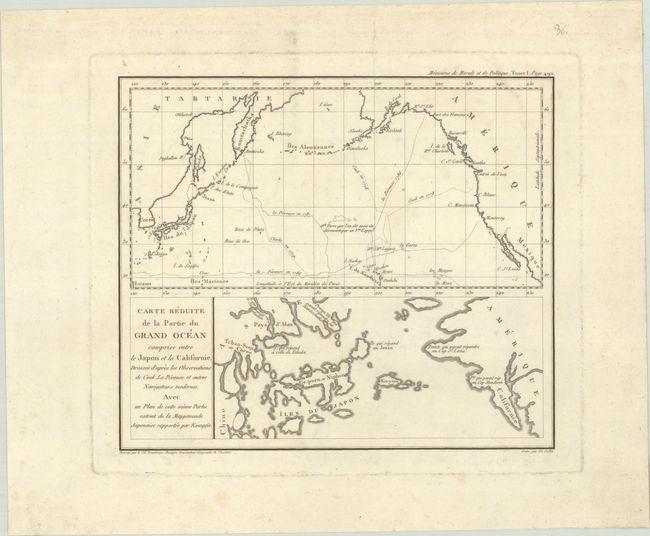
Subject: North Pacific Ocean
Period: 1820 (circa)
Publication: Memoires de Morale et de Politique
Color: Black & White
Size:
10.2 x 8.7 inches
25.9 x 22.1 cm
Download High Resolution Image
(or just click on image to launch the Zoom viewer)
(or just click on image to launch the Zoom viewer)