Catalog Archive
Auction 207, Lot 670
"Carte du Canal de Mosambique, Contenant l'Isle de Madagascar avec les Cotes d'Afrique, Depuis le Cap de Bonne Esperance, Jusqu a Melinde", Bonne, Rigobert
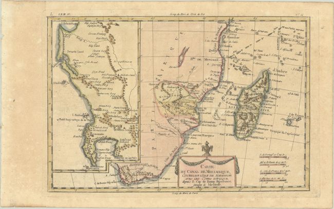
Subject: Southern Africa & Madagascar
Period: 1780 (circa)
Publication: Atlas de Toutes les Parties Connues du Globe Terrestre
Color: Hand Color
Size:
12.6 x 8.4 inches
32 x 21.3 cm
Download High Resolution Image
(or just click on image to launch the Zoom viewer)
(or just click on image to launch the Zoom viewer)