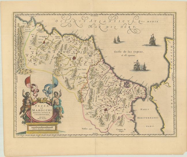
Subject: Northwestern Africa
Period: 1638 (published)
Publication: Theatre du Monde ou Nouvel Atlas
Color: Hand Color
Size:
19.6 x 15 inches
49.8 x 38.1 cm
Highly decorative map of Morocco oriented with north to the right and including the Strait of Gibraltar. It is based on the cartography of Abraham Ortelius, who is credited in the cartouche. The Atlantic is filled with five sailing ships, including two engaged in battle. Two dancing satyrs brandishing their javelins flank the large title cartouche. What distinguishes Blaeu's map from the very similar Jansson map is that Blaeu's map includes a comma after "Atlanticus" at top and names the river near the map's lower border. French text on verso.
References: Van der Krogt (Vol. II) #8615:2.
Condition: B+
A nice impression on a lightly toned sheet with a short centerfold separation at bottom.