Subject: Africa & Indian Ocean
Period: 1845-54 (circa)
Publication: Atlas National Illustre
Color: Hand Color
Size:
17 x 11.5 inches
43.2 x 29.2 cm
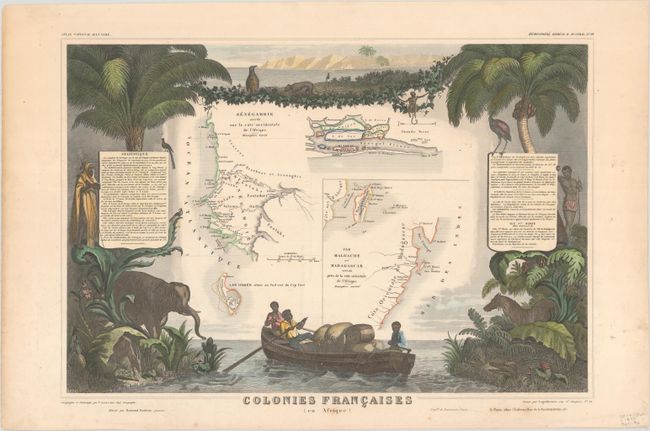
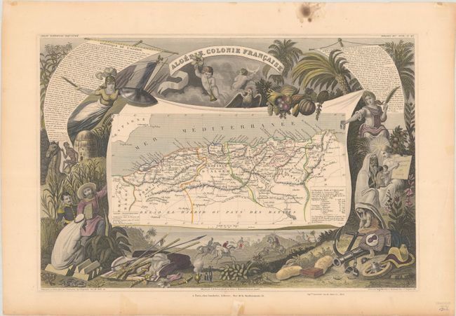
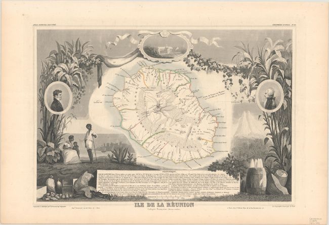
Victor Levasseur's "Atlas National Illustre" and "Atlas Universel Illustre" are among the last decorative atlases published. The maps are all lavishly illustrated with scenes of the countryside, products and activities indigenous to the region.
Three decorative maps of French colonies in Africa and the Indian Ocean. Each map is surrounded by steel engravings containing views, natives, plants, animals, explorers, etc., representing the region.
A. Colonies Francaises (en Afrique), circa 1845.
B. Algerie, Colonie Francaise, circa 1850. Condition: Some spots and old tape in margin.
C. Ile de la Reunion Colonie Francaise (Ocean Indien.), circa 1854.
References:
Condition: A
The maps have contemporary outline color, and two of the maps have later color in the decorative surround. There is minor marginal soiling and foxing. The map of Algeria has a couple of spots of foxing in the image and several stains confined to the blank margins.