Catalog Archive
Auction 207, Lot 653
"A New and Accurate Map of Africa, Draw from the Best Authorities", Bowen, Thomas
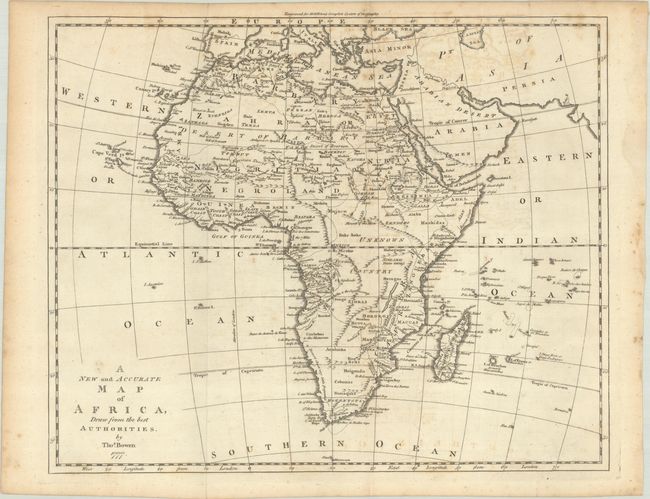
Subject: Africa
Period: 1777 (dated)
Publication: Middleton's Complete System of Geography
Color: Black & White
Size:
16.3 x 13.2 inches
41.4 x 33.5 cm
Download High Resolution Image
(or just click on image to launch the Zoom viewer)
(or just click on image to launch the Zoom viewer)