Catalog Archive
Auction 207, Lot 636
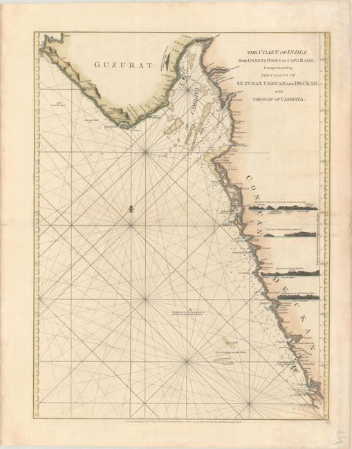
"The Coast of India from Gyants Point to Cape Rama, Comprehending the Coasts of Guzurat, Concan and Deckan, with the Gulf of Cambaya", Sayer & Bennett
Subject: Western India
Period: 1778 (dated)
Publication: The East-India Pilot, or Oriental Navigator...
Color: Hand Color
Size:
17.9 x 23.4 inches
45.5 x 59.4 cm
Download High Resolution Image
(or just click on image to launch the Zoom viewer)
(or just click on image to launch the Zoom viewer)