Current Auction
Lot 635
Current Auction

"Carte de la Partie Superieure de l'Inde en de ca du Gance, Comprise Entre laa Cote du Concan et Celle d'Orixa, avec l Empire du Mogol...", Bonne, Rigobert

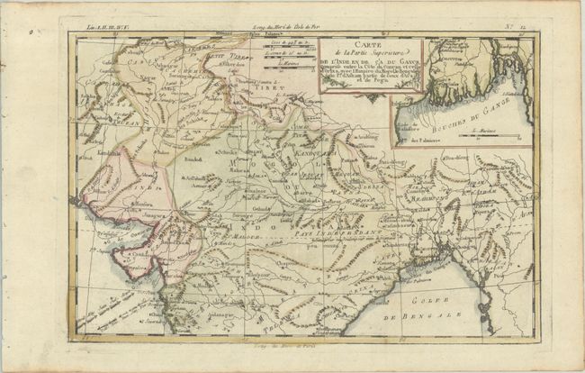
Subject: Northern India

Period: 1783 (circa)

Publication: Atlas de Toutes les Parties Connues du Globe Terrestre

Color: Hand Color

Size:
12.6 x 8.4 inches
32 x 21.3 cm
Download High Resolution Image
(or just click on image to launch the Zoom viewer)

A nice small map of northern India that includes an inset of the Ganges Delta. The directions of the trade winds are shown in the Arabian Sea.

Rigobert Bonne was an important French cartographer of the late 18th century. In 1773 he succeeded Jacques Bellin as the royal cartographer in the office of the Hydrographer at the Depot de la Marine. Working in his official capacity, Bonne compiled some of the most detailed and accurate maps of the period.

References: Gole (India) #83-1.3.

Condition: A

A crisp impression, issued folding on a bright sheet with binding holes along the left edge of the sheet and a vertical printer's crease in the image.

Estimate: $80 - $95

Price: $60

Bid Increments
Under $50$1
$50 - $99$5
$100 - $249$10
$250 - $499$25
$500 - $999$50
Terms & Conditions