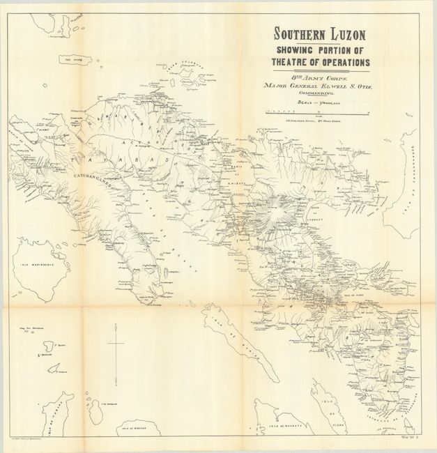
Subject: Southern Luzon, Philippines
Period: 1899 (dated)
Publication:
Color: Black & White
Size:
25.5 x 26.1 inches
64.8 x 66.3 cm
This map was produced during the Philippine–American War and presents the field of operations under Major General Elwell Otis from Lopez Bay east to Catanduanes Island and south to the San Bernardino Strait. It depicts the region's numerous islands, coastal features, rivers, settlements, and two volcanoes north of Legazpi City. An overall useful map that demonstrates the challenges of conventional warfare in a rugged and island-filled region. Lithographed by Andrew Graham in Washington.
References: Phillips (Philippine Islands) #558.
Condition: B+
Issued folding on a bright sheet with light toning along the fold lines and a few short splits at the fold junctions.