Catalog Archive
Auction 207, Lot 626
"Les Isles Philippines, celle de Formose, le Sud de la Chine, les Royaumes de Tunkin, de Cochinchine, de Camboge, de Siam de Laos; avec Partie de ceux de Pegu et d'Ava", Bonne, Rigobert
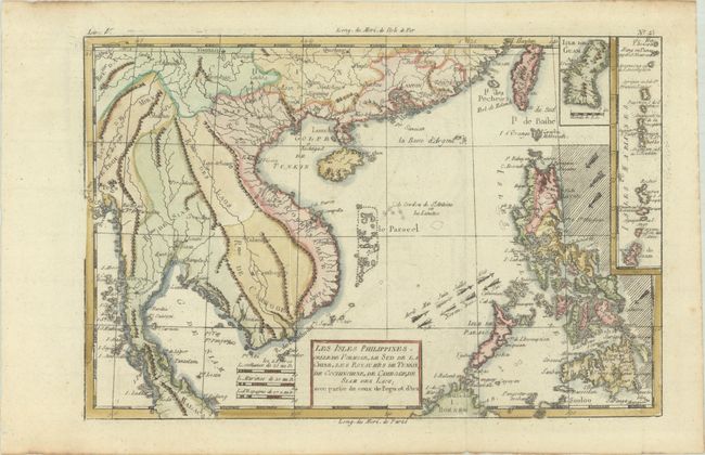
Subject: Southeast Asia
Period: 1780 (circa)
Publication: Atlas de Toutes les Parties Connues du Globe Terrestre
Color: Hand Color
Size:
12.6 x 8.4 inches
32 x 21.3 cm
Download High Resolution Image
(or just click on image to launch the Zoom viewer)
(or just click on image to launch the Zoom viewer)