Catalog Archive
Auction 207, Lot 621
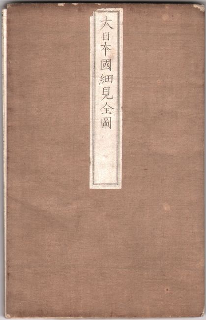
"[Japanese Map of Japan, Meiji 5] Meiji kaisei Dai Nihon yochi zenzu"
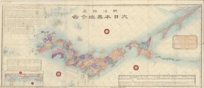
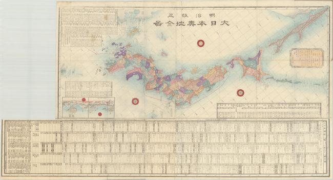
Subject: Japan
Period: 1872 (circa)
Publication:
Color: Hand Color
Size:
13 x 31 inches
33 x 78.7 cm
Download High Resolution Image
(or just click on image to launch the Zoom viewer)
(or just click on image to launch the Zoom viewer)