Catalog Archive
Auction 207, Lot 609
"Generalis Totius Imperii Russorum Novissima Tabula Magnam Orbis Terrarum Partem a Polo Arctico usq ad Mare Iaponicum et Chinae Septentrionalis...", Homann, Johann Baptist
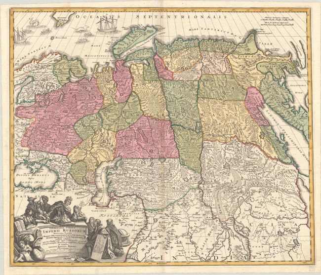
Subject: Northern Asia, Russia
Period: 1729 (circa)
Publication: Atlas Major cum Generales Omnium
Color: Hand Color
Size:
22.8 x 19.2 inches
57.9 x 48.8 cm
Download High Resolution Image
(or just click on image to launch the Zoom viewer)
(or just click on image to launch the Zoom viewer)