Catalog Archive
Auction 207, Lot 582
NO RESERVE
"Carte du Paradis Terrestre, du Mont Ararat et de la Ville de Babel, Suivant le Sentiment de Differens Auteurs Cites dans cet Ouvrage"
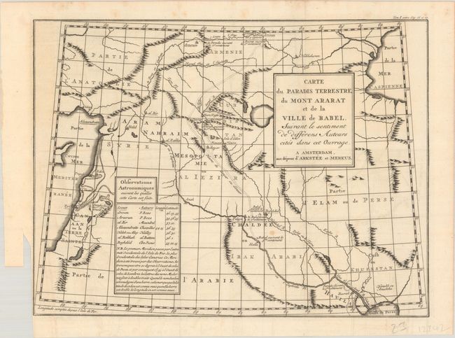
Subject: Middle East
Period: 1770 (circa)
Publication: Histoire Universelle Depuis le Commencement du Monde...
Color: Black & White
Size:
14.6 x 11.1 inches
37.1 x 28.2 cm
Download High Resolution Image
(or just click on image to launch the Zoom viewer)
(or just click on image to launch the Zoom viewer)