Catalog Archive
Auction 207, Lot 574
"La Turquie d'Europe et Celle d'Asie hors la Partie Situee dans l'Arabie", Bonne, Rigobert
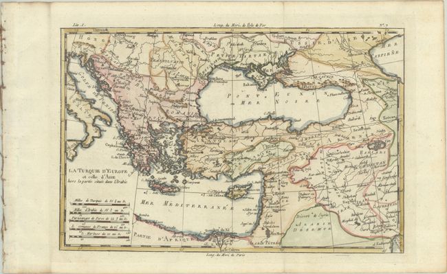
Subject: Eastern Mediterranean & Middle East
Period: 1780 (circa)
Publication: Atlas de Toutes les Parties Connues du Globe Terrestre
Color: Hand Color
Size:
12.5 x 8.3 inches
31.8 x 21.1 cm
Download High Resolution Image
(or just click on image to launch the Zoom viewer)
(or just click on image to launch the Zoom viewer)