Catalog Archive
Auction 207, Lot 554
"Italia Complectens Statum Pontificium, Dominium Hispanicum, Tuscum Aliorumq Principum et Rerum Publicarum", Scherer, Heinrich
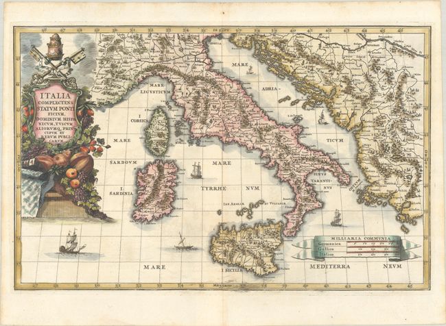
Subject: Italy
Period: 1703 (published)
Publication: Atlas Novus
Color: Hand Color
Size:
13.9 x 8.9 inches
35.3 x 22.6 cm
Download High Resolution Image
(or just click on image to launch the Zoom viewer)
(or just click on image to launch the Zoom viewer)