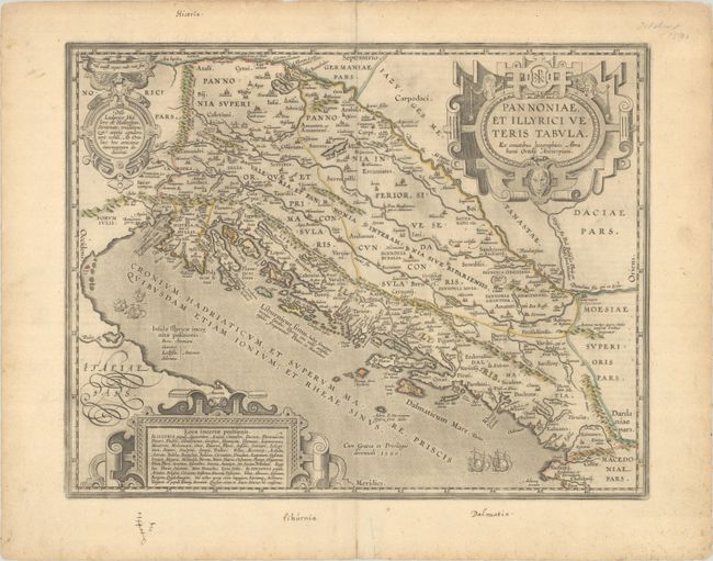
Subject: Western Balkans
Period: 1590 (dated)
Publication: Theatrum Orbis Terrarum
Color: Hand Color
Size:
18.1 x 14.1 inches
46 x 35.8 cm
Superb historical map of the Dalmatian coast from Italy to Greece. The map is based on Gastaldi's map of southeastern Europe (1560) and other information from ancient sources, specifically Plinius, Livius, Bonfinius, Dionus and Aurelius Victor. Decorated with three fine strapwork cartouches, and several ships sailing in the Adriatic Sea. Latin text on verso, published in 1624.
References: Van den Broecke #203.
Condition: A
Contemporary outline color on a watermarked sheet with some light printer's ink residue. There are a few manuscript notations and archival repairs to several short edge tears all confined to the blank margins.