Catalog Archive
Auction 207, Lot 543
"Le Royaume de Hongrie ou se Trouvent la Transilvanie, la Moldavie, la Valaquie, l'Esclavonie, la Bosnie, la Servie, et la Bulgarie, &c.", Chiquet, Jacques
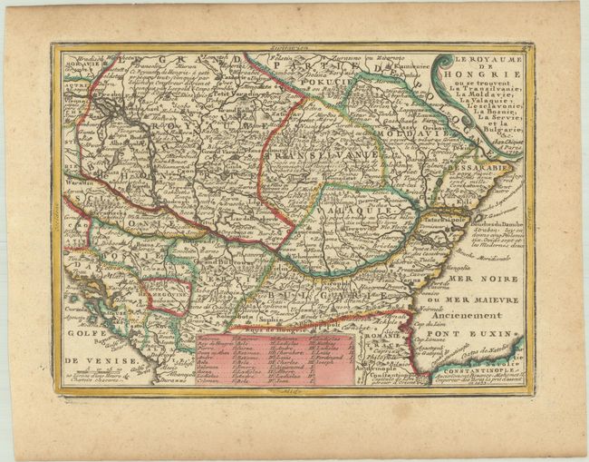
Subject: Southeastern Europe, Hungary
Period: 1719 (dated)
Publication: Le Nouveau et Curieux Atlas Geographique et Historique
Color: Hand Color
Size:
8.8 x 6.4 inches
22.4 x 16.3 cm
Download High Resolution Image
(or just click on image to launch the Zoom viewer)
(or just click on image to launch the Zoom viewer)