Catalog Archive
Auction 207, Lot 533
"Nuova Carta del Regno di Polonia Diviso nei suoi Palatinati Secondo l'Ultime Osservazioni ed Anotazioni", Tirion, Isaac
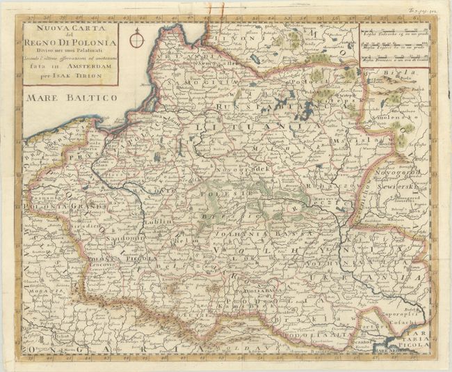
Subject: Eastern Europe, Poland
Period: 1740 (circa)
Publication: Hedendaagsche Historie
Color: Hand Color
Size:
13.6 x 11.1 inches
34.5 x 28.2 cm
Download High Resolution Image
(or just click on image to launch the Zoom viewer)
(or just click on image to launch the Zoom viewer)