Catalog Archive
Auction 207, Lot 527
"Austriae Ducatus Chorographia, Wolfgango Lazio Auctore", Ortelius, Abraham
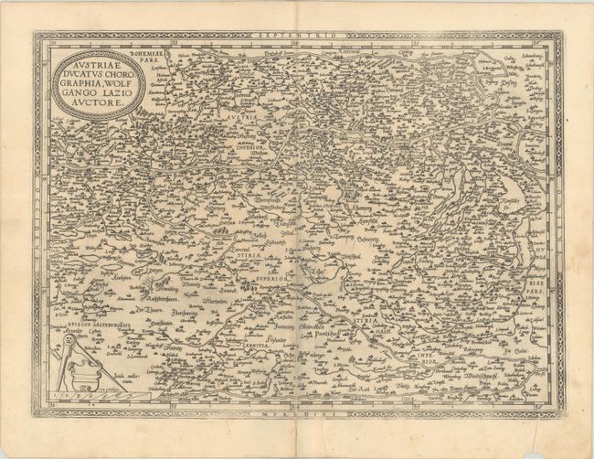
Subject: Austria
Period: 1575 (published)
Publication: Theatrum Orbis Terrarum
Color: Black & White
Size:
18.4 x 13.4 inches
46.7 x 34 cm
Download High Resolution Image
(or just click on image to launch the Zoom viewer)
(or just click on image to launch the Zoom viewer)