Catalog Archive
Auction 207, Lot 521
"Exactissima Helvetiae Rhaetiae, Valesia Caeterorumq, Confaederatorum ut et Finitimorum Populorum Regionum Tabula", Visscher, Nicolas
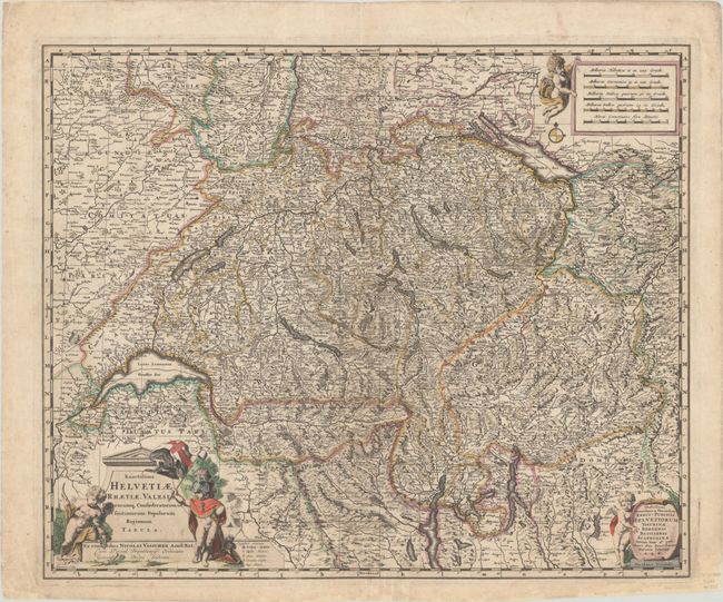
Subject: Switzerland
Period: 1680 (circa)
Publication:
Color: Hand Color
Size:
22.4 x 18.5 inches
56.9 x 47 cm
Download High Resolution Image
(or just click on image to launch the Zoom viewer)
(or just click on image to launch the Zoom viewer)