Catalog Archive
Auction 207, Lot 520
"Marchionatus Moraviae Circuli Zynomensis et Iglaviensis quos Mandato Caesareo...", Homann, Johann Baptist
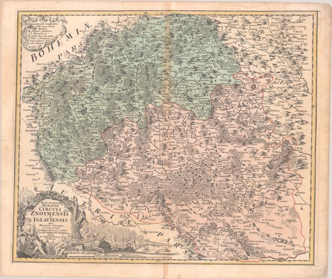
Subject: Southern Czech Republic
Period: 1720 (circa)
Publication:
Color: Hand Color
Size:
23 x 19.4 inches
58.4 x 49.3 cm
Download High Resolution Image
(or just click on image to launch the Zoom viewer)
(or just click on image to launch the Zoom viewer)