Catalog Archive
Auction 207, Lot 499
"Recens et Accurata Designatio Episcopatus Paderbornensis in suas Dioeceses et Praefect. Exacte Distincti...", Seutter/Lotter
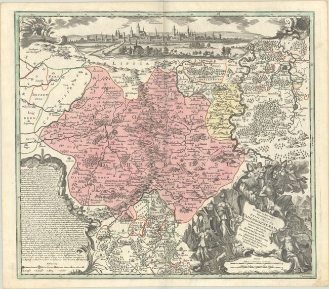
Subject: Western Germany
Period: 1730 (circa)
Publication:
Color: Hand Color
Size:
21.8 x 19.4 inches
55.4 x 49.3 cm
Download High Resolution Image
(or just click on image to launch the Zoom viewer)
(or just click on image to launch the Zoom viewer)