Catalog Archive
Auction 207, Lot 493
"L'Electorat de Hannover ou les Domaines du Roi de la Grande Bretagne en Allemagne", Covens & Mortier
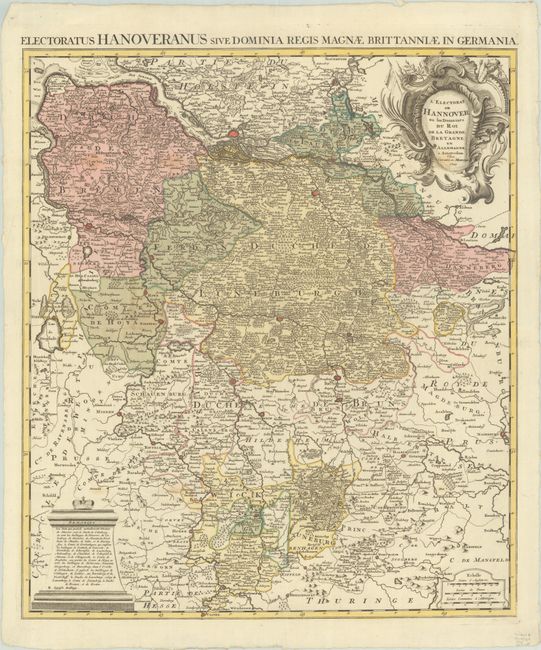
Subject: Northwestern Germany
Period: 1745 (dated)
Publication:
Color: Hand Color
Size:
20.3 x 23.4 inches
51.6 x 59.4 cm
Download High Resolution Image
(or just click on image to launch the Zoom viewer)
(or just click on image to launch the Zoom viewer)